| File Description |
File Name (.zip***) |
Format |
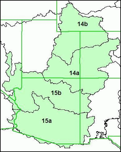
| Region 14 , Version 01_01, Catchment Grid |
NHDPlus14V01_01_Catgrid |
ESRI Grid* |
| Region 14, Version 01_01, Catchment Shapefile |
NHDPlus14V01_01_Catshape |
Shapefile** |
| Region 14, Version 01_03, Catchment Flowline Attributes |
NHDPlus14V01_03_Cat_Flowline_Attr |
DBF**** |
| Region 14, Version 01_02, Elevation Unit a |
NHDPlus14V01_02_Elev_Unit_a |
ESRI Grid |
| Region 14, Version 01_02, Elevation Unit b |
NHDPlus14V01_02_Elev_Unit_b |
ESRI Grid |
| Region 14, Version 01_02, Flow Accumulation and Flow Direction Unit a |
NHDPlusV1401_02_FAC_FDR_Unit_a |
ESRI Grid |
| Region 14, Version 01_02, Flow Accumulation and Flow Direction Unit b |
NHDPlus14V01_02_FAC_FDR_Unit_b |
ESRI Grid |
| Region 14, Version 01_01, National Hydrography Dataset |
NHDPlus14V01_03_NHD |
Shapefile and DBF |
| Region 14, Version 01_01, QAQC & Sinks Spreadsheet |
NHDPlus14V01_01_QAQC_Sinks |
Excel Spreadsheet |
| Region 14, Version 01_01, Stream Gage Event |
NHDPlus14V01_01_StreamGageEvent |
DBF |
| Region 15, Version 01_01, Catchment Grid |
NHDPlus15V01_01_Catgrid |
ESRI Grid |
| Region 15, Version 01_01, Catchment Shapefile |
NHDPlus15V01_01_Catshape |
Shapefile |
| Region 15, Version 01_03, Catchment Flowline Attributes |
NHDPlus15V01_03_Cat_Flowline_Attr |
DBF |
| Region 15, Version 01_02, Elevation Unit a |
NHDPlus15V01_02_Elev_Unit_a |
ESRI Grid |
| Region 15, Version 01_02, Elevation Unit b |
NHDPlus15V01_02_Elev_Unit_b |
ESRI Grid |
| Region 15, Version 01_02, Flow Accumulation and Flow Direction Unit a |
NHDPlus15V01_02_FAC_FDR_Unit_a |
ESRI Grid |
| Region 15, Version 01_02, Flow Accumulation and Flow Direction Unit b |
NHDPlus15V01_02_FAC_FDR_Unit_b |
ESRI Grid |
| Region 15, Version 01_01, National Hydrography Dataset |
NHDPlus15V01_03_NHD |
Shapefile and DBF |
| Region 15, Version 01_01, QAQC & Sinks Spreadsheet |
NHDPlus15V01_01_QAQC_Sinks |
Excel Spreadsheet |
| Region 15, Version 01_01, Stream GageEvent |
NHDPlus15V01_01_StreamGageEvent |
DBF |